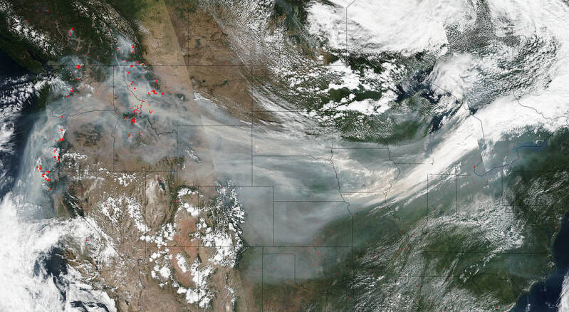
"Wildfire Smoke Crosses U.S. On Jet Stream" by NASA Goddard Photo and Video is licensed under CC BY 2.0.
With an el Niño exceeding the ‘very strong’ category in effect, Michigan can expect more rain and flooding this winter season.
The National Oceanographic and Atmospheric Association (NOAA)’s Climate Prediction Center forecasts a 63% chance of a 'very strong' el Niño from November-January. An el Niño creates warmer winters in MI by keeping the winds warmer. This year winter temps could be as much as 5°F higher!
What is an el Niño? An el Niño causes the middle of the Pacific Ocean to be at least 0.5°C (almost 1°F) warmer at the surface. An el Niño event is very strong if it raises the Pacific’s temperature by 2°C (3.5°F) or more.
An increase like this would take ice at 32°F, to liquid water at 33°F. In this year’s el Niño, temperatures would go from 32°F to 37.5°F!
This year’s el Niño is in the very strong category, but it’s effects are expected to be more extreme than the average ‘very strong’ el Niño. Scientists are calling it a Super el Niño for this reason. If it is as strong as is expected, it will be the largest el Niño event since 1950.
El Niños effect the atmospheric winds called the jet stream (jets fly up there). They shift the cold air from the Arctic further north into Canada, as well as the warm air from the tropics into the southern US. All in all, this makes MI warmer. We can see more precipitation and chances of flooding because of that, especially during the winter.
Our most recent 'very strong' el Niños were in the winters of 1982-83, 1997-98, and 2015-16. We can usually expect less snowfall from these, by 25-50%, but that is not a guarantee. Things like arctic sea ice and conditions in the atmosphere can just mean that our precipitation comes in the form of rain or ice instead of snow.
Like in the example from earlier, we rely on water to fall as snow in the winter. If more of it is falling as liquid water, there are greater chances of flooding.
Why are warmer winters a bad thing?
The warmer air from the jet stream has already caused more flooding in the South and more droughts in the West. With the shifted currents in the jet stream from the super el Niño, more hurricanes are likely in the Pacific, while fewer can be expected in the Atlantic.
What does this mean for Michiganders?
Michigan can expect a fairly mild winter, with less precipitation and the majority of the precipitation falling as rain or ice. Warmer temperatures and extra precipitation as liquid water could lead to flooding in houses, roadways, and farm fields. Michigan communities will need to be prepared to help in recovery from droughts and flooding. Communities in the South and West will also need help weathering this year’s el Niño, as well as those in the East Pacific.
How is this el Niño different from previous ones?
In the 2015/15 el Niño, the warmer temperatures and floods caused “socioeconomic damage, migration, disease outbreaks and food insecurity." The event coming this year, is expected to be even more intense.
Climate scientists believe that warming temperatures due to climate change are to blame for the more intense el Niños. In July 2023, an el Niño was forecast. The summer in 2024 was the hottest on record. At the same time there was a record amount of greenhouse gas concentrated in the atmosphere.
This year’s el Niño has already made global climates unsteady with high temperatures.
Add comment
Comments